When you buy through our links, we may earn a commission. Learn more ›
Wiki Shopping

Charts & Maps

41 charts & maps from Fishing Hot Spots, Maptech, NOAA and more.

Recommended Charts & Maps

Paradise Cay Publications
+Handy 8.5 x 11 inch size for easy stowage
+Covers Lake Michigan in Mercator projection
+Official NOAA BookletChart format
−Small scale may limit detail for close navigation
No price recorded yet.

Blue

+Fishing map covering the north section of Lake Barkley
+Part of the Kentucky Lake Fishing Series
+Blue printed map for reading water features
No price recorded yet.
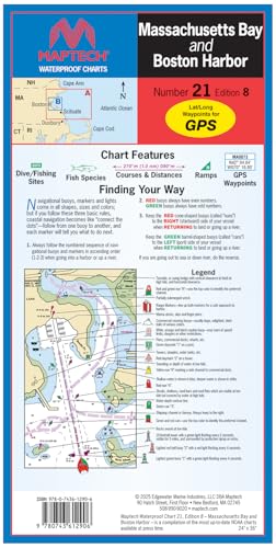
Maptech

Multicolor

+Waterproof nautical chart for marine use
+24 by 36 inch size shows detail over a wide area
+Covers Massachusetts Bay and Boston Harbor
No price recorded yet.
Topspot

Gold

+Covers the Tampa Bay area from Port Rickey to Venice
+Includes fishing and recreation information for the area
+Printed map format for planning routes on the water
No price recorded yet.
Paradise Cay Publications, Inc.
+Three-pack includes charts 12221, 13205, and 12354
+Set of NOAA training charts for practice navigation
No price recorded yet.
Maptech

Multicolor

+Waterproof nautical chart for marine use
+24 by 36 inch size shows detail over a wide area
+Covers the Florida West Coast from Everglades City
No price recorded yet.
Maptech

Multicolor

+Waterproof nautical chart for Narragansett Bay, Rhode Island
+Large 24 x 36 inch sheet for detailed navigation
+Sixth edition of the chart
No price recorded yet.

Spec scores, pros and cons, and prices are explained in the How it works section of the About page.